
Google is watching, always, but maybe people won’t mind so much during the COVID-19 pandemic.
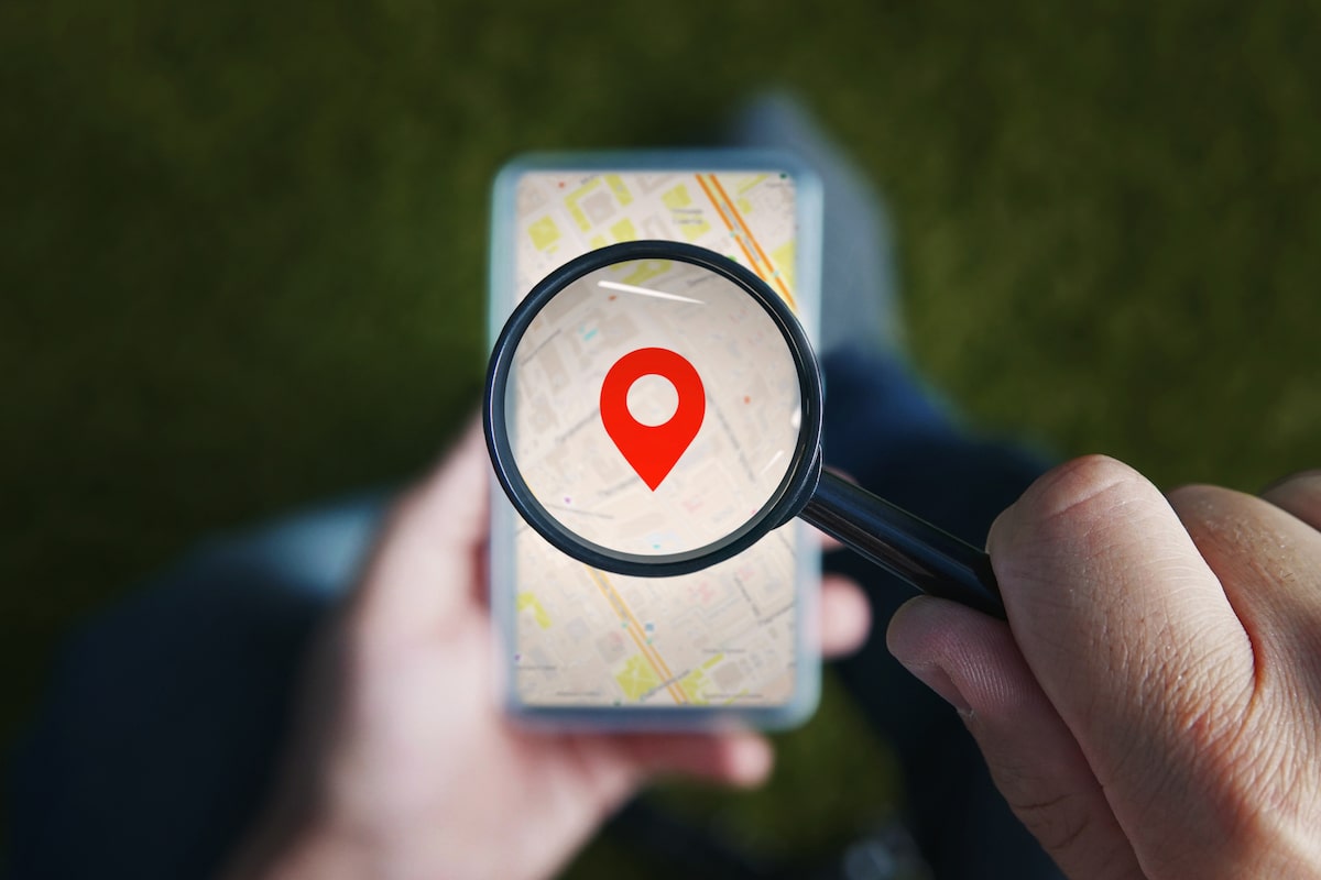
The tech giant, in an effort to aid public health officials, just released the COVID-19 Community Mobility Report that used location data that track people’s movements to assess state and local adherence to social-distancing measures.
The report, dated March 29, which uses information from Google Maps and other sources, included these results for Connecticut compared with the state’s pre-COVID baseline:
- Residential: up 15 percent.
- Workplace: down 38 percent.
- Transit stations: down 64 percent.
- Parks: down 52 percent.
- Grocery and pharmacy: down 32 percent.
- Retail and recreation (includes restaurants, shopping centers, theme parks, libraries and movie theaters): down 56 percent.
Google’s data dump also breaks down the state by county. Not surprisingly, Fairfield County, the state’s first hotspot, showed the highest rate of stay-at-home Residential (up 17 percent) and Windham County, initially among the lightest-hit COVID areas in the state, the lowest (up 12 percent).
To view the entire Connecticut report, click here. To select a report from other states or countries, click here.
Not feeling well? Call your healthcare provider for guidance and try to avoid going directly to an emergency department or urgent care center, as this could increase the chances of the disease spreading.
Click here to schedule a virtual visit with a Hartford HealthCare-GoHealth Urgent care doctor.
Stay with Hartford HealthCare for everything you need to know about the coronavirus threat. Click here for information updated daily.
Questions? Call our 24-hour hotline (860.972.8100 or, toll-free, 833.621.0600).
Get text alerts by texting 31996 with COVID19 in the message field.